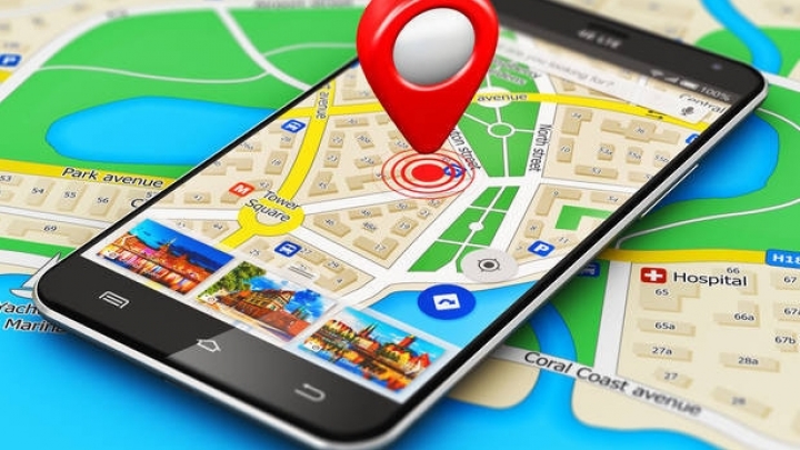
Enhanced resolution. Google maps just got better

The mapping service of Google is now using images from a newer NASA satellite to produce crisper and clearer pictures.
Google says the higher quality images are possible because of sensors in Landsat 8, a satellite that launched in 2013, and "new processing techniques."
Landsat 8 can take pictures with a lot more detail, a lot more frequently, Google said in a blog post Monday. That means Google has access to twice as many images that are much more recent. Google then pieces together the best ones to formulate its maps.
The extra details mean that users can see more subtleties in landscapes, and become more aware of changes over time.
Read more at CNN.